ECEF projection
This is the download page of the TOCOMEE dataset in ECEF (earth-centered, earth-fixed) spherical projection.
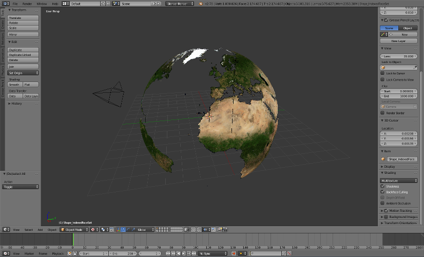
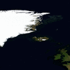
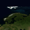
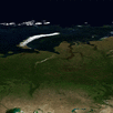
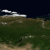
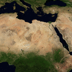
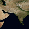
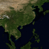
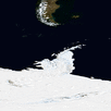
Complete TOCOMEE (ECEF) crude resolution dataset, visualized in Blender
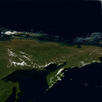
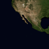
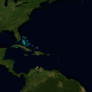
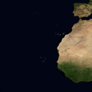
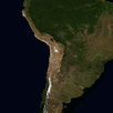
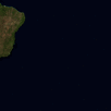
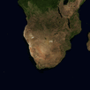
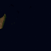
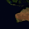
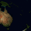
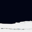
Download: Select a tile from a subsection for a .zip archive with full, intermediate and crude resolution in X3D format.
 |
 |
 |
 |
 |
 |
 |
 |
 |
 |
 |
 |
 |
 |
 |
 |
 |
 |
 |
 |
 |
 |
 |
 |
 |
 |
 |
 |
 |
 |
 |
 |
A file with latitude and longitude lines (X3D) can be downloaded here: tocomee_gridlines_10deg.zip
 Dieses Werk ist lizenziert unter einer Creative Commons Namensnennung 4.0 International Lizenz. |